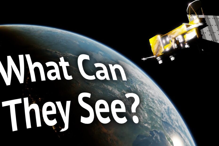
Satellite Imagery
Ever wondered what your neighbor’s prize-winning petunias look like from space? Or perhaps you’re a burgeoning supervillain, meticulously planning your next lair and needing to scout the optimal volcano-adjacent, ocean-front property without actually, you know, going there? Enter Satellite Imagery, the unsung hero of remote voyeurism and strategic planning. We’re talking about those glorious, high-resolution snapshots of our pale blue dot, taken by incredibly expensive, very patient cameras orbiting hundreds of miles above your head. It’s like Google Maps on steroids, but with less street view awkwardness and more “oh, that’s where I left my car… in another county.”
These aren’t just pretty pictures for your desktop background, folks. Satellite imagery is the digital eye in the sky, revolutionizing everything from urban planning (because who wants a new skyscraper blocking their sun?) to disaster relief (finding out where the floodwaters really went). It’s also fantastic for:
- Spotting rogue lawn gnomes from orbit.
- Confirming whether your ex’s new house actually has a bigger pool.
- Monitoring deforestation, which is slightly more serious but still cool.
- Tracking migrating herds of wildebeest (or, more likely, migrating herds of Amazon delivery vans).
- Finally proving that the Earth is round (sorry, flat-earthers, the satellites don’t lie).
So next time you’re scrolling through a map, take a moment to appreciate the incredible technology that lets you zoom in on that suspiciously large puddle in your backyard. It’s not just data; it’s a bird’s-eye view of humanity, one pixel at a time.
