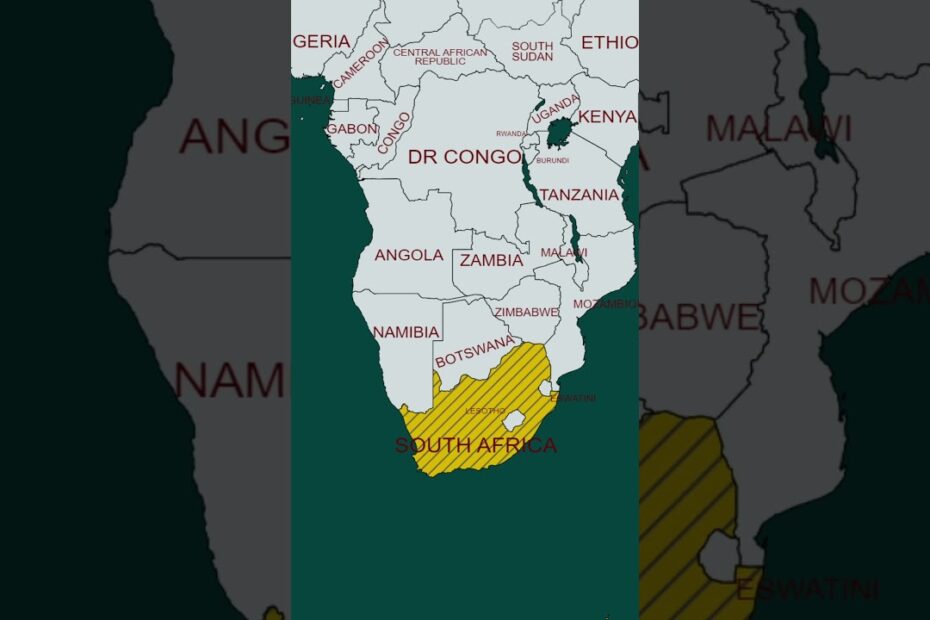
Google Maps South Africa: Essential Tips for Navigation & Local Exploration
Don’t Trust the Buffalo (or Your Data Plan)
South Africa’s wilderness is breathtaking—until your phone signal vanishes faster than a springbok spotting a lion. Download offline maps before road-tripping through Kruger National Park or the Garden Route. Otherwise, you’ll rely on “that one cow’s judgment” for directions. Pro tip: Google’s blue dot might insist you’re “5 minutes away” from a lion pride. Spoiler: You’re not.
Minibus Taxis: The Unofficial Kings of the Road
Google Maps knows traffic, but it can’t predict the chaotic ballet of minibus taxis. These vibrant vehicles follow their own rules (and routes). If Maps says “turn left,” but a taxi convoy is veering right, follow the taxis. They’re like local influencers—always trending. Bonus: Use “avoid potholes” mode (not a real feature, but squint and pretend).
- Street View Safari: Scout Table Mountain’s hiking trails virtually. Watch for photobombing dassies (they’re cuter than pigeons).
- Review the Wildlife: Some rest stops have Google reviews like, “Great pies! Also, a warthog stared at me.” Prioritize accordingly.
Pronouncing “Swartberg Pass” Without Offending a Local
Google’s voice navigation might butcher Afrikaans or isiZulu names, leading to confused goats and polite laughter at gas stations. Learn phonetic shortcuts (e.g., “Swartberg” = “swart-bear-ugh”). Better yet, nickname locations: “That big mountain with the twisty road.” Remember, if a robot voice says “turn right at the robot,” it means traffic light—not R2-D2. You’ve been warned.
Why Google Maps Struggles in South Africa (and How to Overcome Limitations)
When Google Maps Meets a Confused Springbok (AKA Rural Navigation)
Google Maps in South Africa sometimes acts like a springbok that’s had too much sunshine. It’ll confidently route you down a “road” that’s actually a goat path, insist a traffic circle is a “highway,” or claim your destination is “2 minutes away” when you’re staring at a mountain. Blame it on patchy rural mapping data, creative street naming conventions (looking at you, “Untitled Road 17”), and townships where directions involve “turn left at the blue shack, not the *other* blue shack.”
How to Outsmart the Digital Chaos
- Embrace the Waze of the People: South Africans treat Waze like a communal GPS campfire. Use it. Locals report potholes, livestock crossings, and police speed traps with the urgency of meerkats warning about eagles.
- Download Offline Maps (and a Sense of Humor): Google’s offline maps are your tech survival kit. Just don’t expect them to explain why there’s a donkey cart in the fast lane.
- Learn the Secret Language: “Robot” means traffic light. “Just now” means…eventually. If someone says “it’s close,” bring snacks.
When All Else Fails, Summon a Human
Google may not know that Mrs. Dlamini’s spaza shop is the real landmark, but the guy selling vetkoek on the corner does. South Africa runs on *ubuntu*, not algorithms. Roll down your window, ask for help, and prepare for a 10-minute conversation about your aunt’s cousin’s friend in Johannesburg. Pro tip: biltong bribes work better than 5G here.
